Scotland set for cooler spell as UK heatwave comes to an end
Northern England and southern Scotland are expected to see heavy downpours and thunder as temperatures drop from weekend highs of 30C.
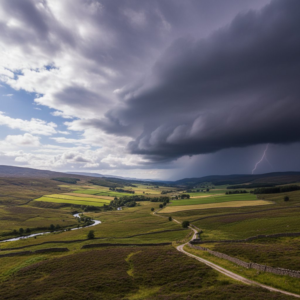
Scotland is expected to receive a reprieve from scorching temperatures as the latest UK heatwave draws to a close, with cooler conditions spreading across much of the country this week. Forecasters said northern England and southern Scotland are most likely to experience heavy downpours and some rumbles of thunder, marking a dramatic shift from the weekend's widespread 30C heat.
Much of the rest of the UK will sit between 18C and 22C as a cooler front brings heavy spells of rain, though central and eastern England may stay warmer for longer, with some places still reaching 25C to 30C on Monday.
Weather front brings dramatic change
The Met Office confirmed the temperature shift follows a weekend of exceptional heat that saw thermometers climb to 30C across wide areas of Britain. The incoming cooler front is expected to deliver substantial rainfall to Scotland's southern regions, with meteorologists warning of potential thunderstorms accompanying the downpours.
The contrast between weekend conditions and the incoming weather system represents one of the more pronounced shifts in recent memory, with temperatures dropping by as much as 10C in some areas within a matter of hours. Weather stations across the Scottish Borders and Dumfries and Galloway are already recording the first signs of the atmospheric change, with humidity levels rising ahead of the expected rainfall.
The weather front originates from Atlantic systems that have been building pressure over the past 48 hours, creating the conditions necessary for the dramatic temperature reversal. Meteorological data shows wind patterns shifting from the continental high-pressure system that brought the weekend heat to a more typical westerly flow that characterises Scotland's maritime climate.
Relief for Scottish communities and infrastructure
The cooler conditions will come as welcome relief for Scottish communities that have endured several days of unusually high temperatures. Transport networks, which have faced strain during the heatwave period, are expected to benefit from the more moderate conditions, though the heavy rainfall may present its own challenges for rail and road services.
ScotRail reported increased passenger complaints about overheated carriages during the peak heat, with several services experiencing minor delays due to track expansion concerns. The railway operator has confirmed that cooling systems across the network performed within acceptable parameters, but acknowledged that the sustained high temperatures pushed infrastructure to its limits.
Outdoor events scheduled across Scotland this week are likely to see improved conditions for participants, though organisers will need to account for the possibility of heavy rain and thunderstorms, particularly in southern regions of the country. The Edinburgh Festival Fringe, currently in full swing, has updated its weather contingency plans following the forecast changes.
The temperature drop will also ease pressure on Scotland's energy grid, which has seen increased demand for cooling systems during the prolonged hot spell. National Grid ESO data indicates that electricity consumption peaked during afternoon hours as households and businesses relied heavily on fans and air conditioning units.
Healthcare services across Scotland have also welcomed the temperature change, with NHS boards reporting increased hospital admissions related to heat exhaustion and dehydration during the weekend period. Emergency departments in Glasgow and Edinburgh saw a notable uptick in heat-related cases, particularly among elderly residents and outdoor workers.
Regional variations across Britain
While Scotland prepares for cooler, wetter conditions, the weather pattern across Britain shows significant regional variation. Central and eastern England are forecast to maintain higher temperatures through Monday, with some areas still reaching the upper twenties. London and the Southeast are expected to experience the most gradual transition, with temperatures remaining elevated until midweek.
The uneven distribution of the cooling effect highlights the localised nature of the weather front, which is moving northwards from continental Europe. Scotland's position at the leading edge of this system means it will experience the most dramatic change from recent conditions.
Northern England is expected to see similar patterns to southern Scotland, with heavy rainfall and potential thunderstorms marking the transition from the weekend's heat. Manchester and Leeds are forecast to receive significant precipitation, with weather warnings potentially issued for flash flooding in urban areas where drainage systems may struggle to cope with sudden downpours.
Wales is positioned between the two weather systems, with western regions likely to experience Scottish-style cooling while eastern areas maintain warmer conditions for another day or two. The Brecon Beacons and Snowdonia regions are expected to see the most dramatic temperature drops, potentially falling below 15C at higher elevations.
Looking ahead to the rest of the week
Weather patterns suggest the cooler conditions will persist across Scotland through the middle of the week, with temperatures remaining in the comfortable range of 18C to 22C. The rainfall associated with the weather front is expected to be substantial but relatively short-lived in most areas, with the heaviest downpours concentrated in a 24-hour period.
Agricultural communities across Scotland are monitoring the rainfall forecasts closely, with many farmers hoping the precipitation will provide relief for crops that have shown signs of stress during the prolonged dry spell. The Scottish Agricultural Organisation Society noted that livestock have also struggled with the exceptional heat, making the cooler conditions particularly welcome for animal welfare.
Meteorologists indicate that while the immediate heatwave has broken, longer-term forecasts remain uncertain regarding whether temperatures will return to seasonal averages or if another warm spell might develop later in the month. Extended weather models suggest a return to more typical Scottish summer patterns, with alternating periods of sunshine and showers.
The timing of the weather change coincides with the peak summer holiday period, when many Scottish families and visitors rely on outdoor activities and events. Tourism operators in the Highlands and Islands have reported mixed reactions, with some visitors disappointed by the end of the exceptional weather while others welcome more comfortable hiking and sightseeing conditions.
According to the STV News report, the shift represents a significant break from the exceptional conditions that have characterised recent days across much of the UK. The weather service emphasises that while the dramatic temperature change may seem sudden, such transitions are typical of Britain's maritime climate during summer months.
For now, Scotland can expect a return to more typical summer weather, with the prospect of regular rainfall helping to ease drought concerns that had begun to emerge in some regions during the prolonged hot spell. Water companies across Scotland have confirmed that reservoir levels remain stable, but the additional precipitation will provide valuable replenishment for the coming weeks.