Lightning storms bring flooding and travel chaos across Scotland
More than 30,000 lightning strikes recorded as severe thunderstorms sweep north from England, causing flash flooding in Scottish communities and widespread transport delays.
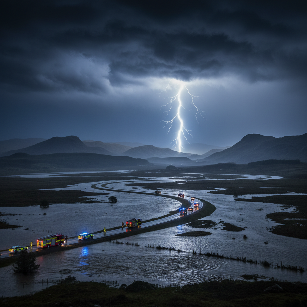
Severe thunderstorms swept across Scotland between 19-20 July, bringing more than 30,000 lightning strikes overnight and causing flash flooding in several communities as the weather system moved north from England. The Met Office issued yellow weather warnings for rain and thunderstorms covering much of Scotland, the far north of England and eastern Northern Ireland.
The storms followed the hottest day of the year so far and brought dramatic scenes as lightning lit up Scottish skies. At least one residential property suffered fire damage after a direct lightning strike, whilst surface water from torrential downpours disrupted road and rail services across parts of the country.
Flooding hits Scottish communities
Forecasters warned that some areas could receive 30-50mm of rain within just a few hours, with isolated spots potentially seeing up to 80mm. The intense rainfall led to flooding in several Scottish communities, creating hazardous conditions for residents and emergency services.
Roads became impassable in affected areas as surface water accumulated rapidly, whilst a landslip added to transport disruption. Emergency services and local authorities urged residents to exercise extreme caution around floodwaters and to heed travel advice as conditions remained dangerous.
The rapid onset of flooding caught many communities off guard, with water levels rising within minutes in low-lying areas. Local fire and rescue services reported multiple callouts to assist stranded motorists and residents affected by rising waters. Several car parks and underpasses became completely submerged, forcing authorities to implement road closures and diversions across multiple council areas.
Transport networks face widespread disruption
Rail services experienced significant delays and cancellations as operators suspended services on routes affected by flooding and the landslip. Road users faced treacherous driving conditions with standing water creating aquaplaning risks on major routes.
ScotRail confirmed multiple service suspensions across central and southern Scotland, with replacement bus services struggling to cope with demand as road conditions deteriorated. The A9, M8 and M74 motorways all reported lane closures due to surface water, whilst several smaller A-roads remained completely impassable hours after the storms passed.
Glasgow and Edinburgh airports both experienced delays to incoming flights as pilots were forced to circle waiting for the electrical activity to subside. Ferry services to the Western Isles faced cancellations as high winds accompanied the thunderstorms, leaving passengers stranded at terminals.
The Met Office continued to warn of difficult driving conditions and possible power cuts as bands of heavy rain and thunder moved north and west through Saturday. Transport operators advised passengers to check services before travelling and to allow extra time for essential journeys.
Emergency response and safety warnings
Local authorities mobilised clean-up efforts and conducted safety checks in affected areas as the immediate danger from the storms began to subside. Emergency services remained on high alert for further incidents as weather conditions remained unsettled.
Scottish Fire and Rescue Service reported attending over 200 weather-related incidents during the peak of the storms, including multiple house fires caused by lightning strikes and dozens of flood rescues. Police Scotland issued warnings about driving through floodwater after several vehicles became stranded in deeper water than drivers had anticipated.
Power companies reported thousands of homes losing electricity as lightning strikes damaged infrastructure and flooding affected substations. Scottish Power and SSE Networks deployed emergency crews to restore supplies, though some remote areas faced extended outages due to access difficulties caused by flooding.
The lightning strikes and intense rainfall highlighted the increasing frequency of extreme weather events affecting Scotland and the wider UK. Meteorologists noted that such concentrated electrical activity, with over 30,000 strikes recorded in a single night, represents a significant weather event that underscores changing atmospheric patterns.
Continuing weather risks and recovery efforts
The Met Office maintained warnings of continuing risks from localised flash flooding as further bands of heavy rain were expected to move through the region. Forecasters emphasised that whilst the most intense phase of the storms had passed, conditions remained volatile with the potential for further severe weather.
Council teams began damage assessments on Sunday morning, with particular focus on bridge structures and road surfaces affected by the rapid water flow. Several community centres opened as temporary refuges for residents whose homes suffered flooding or lightning damage, whilst insurance companies prepared for a surge in weather-related claims.
According to the BBC weather report, the storms represented a significant meteorological event that followed established patterns of increasingly intense summer weather systems affecting the British Isles.
Environmental agencies warned that saturated ground conditions would increase flood risks from any subsequent rainfall over the coming days. River levels remained elevated across central Scotland, with flood barriers deployed in several towns as a precautionary measure.
Residents in previously affected areas were advised to remain vigilant for further weather warnings and to ensure drainage systems around their properties remained clear. The combination of lightning damage, flooding and transport disruption served as a stark reminder of Scotland's vulnerability to extreme weather events during an era of increasingly unpredictable climate patterns.